Devoted to exploring off the beaten path for beautiful waterfalls, wildflowers, and landscapes in West Virginia.
Showing posts with label New River Gorge. Show all posts

Friday, April 21, 2017

Hiking the Waterfalls of Big Branch


If you like waterfalls, you’ll love the Big Branch Trail of the New River Gorge. Depending upon how you count them, you’ll see six or seven waterfalls in the space of ¾ mile. For the sheer joy of seeing water descend over rock, the Big Branch Trail is hard to beat. I won’t describe all the waterfalls in this blog, but we’ll take a look at most of them.
Big Branch Falls

Trailhead

The trailhead is about 4 miles from Hinton on the River Road—the road that takes you to Sandstone Falls. Look for the trailhead across the road from the Brooks Falls overlook. Starting at the trailhead, take the left-hand fork, which after about 500 feet of woodland walking leads to the streambed of Big Branch. At this point the trail crosses Big Branch for the first of four times. Since this stream doesn’t have a large watershed, it’s generally a trickle in summer and fall. But in winter and spring, it’s full enough that you should plan to get your boots wet when crossing.
First Waterfall

First Waterfall

Before crossing the creek, look for a trail running downstream and take it for about 100 feet. The first waterfall on Big Branch will be to your right. It’s a nice waterfall that takes about an 8-foot drop before spreading out across a large, flat bedrock surface. The water is shallow across the bedrock plain, so you can walk across it and set up a tripod wherever you please to snap a few photos of the falls. Backtrack to rejoin the Big Branch Trail, make the first stream crossing, and head uphill. 
Rocky's Falls

Rocky’s Falls

The trail hugs the course of Big Branch all the way to the top waterfall, so when you’re not relishing a waterfall you’re being serenaded by the music of a babbling brook. At the second crossing there’s a fair size riffle, but do continue for more waterfall action. The next waterfall is named after Randall Sanger’s dog “Rocky” who was fond of splashing in it and getting into the photos Randall was trying to take of the falls. Though “Rocky’s Falls” is just a 4 to 5-foot plunge, don’t let its size fool you. This is a very lovely and photogenic waterfall.
Double Falls

Double Falls

After the third creek crossing, you’ll come to “Double Falls.” Actually Double Falls is composed of several stair-stepping drops, but has two primary falls. The trail runs right above them and makes a perfect platform for some tripod locations. Or you can easily climb down to creek level for some shots. Continuing upstream you’ll pass “Log Falls.” It’s a small waterfall with a couple of prominent logs near it. 
Big Branch Falls

Big Branch Falls

Because of its 30-foot drop, the next waterfall is the main attraction on Big Branch. I call it “Big Branch Falls” because it is the largest waterfall on the creek. It sits in a semi-rounded cove and begs for exploration. Patience when approaching this waterfall is rewarded. Instead of bushwhacking a way to the falls when you first spot it from the trail, stay on the steeply inclined trail until you’re almost level with the top of the waterfall. At this point, an easy trail takes off downhill to the right and will deposit you at the base of the waterfall. The ground is relatively flat around the base of the falls, so you can move about freely. Right, left, and center, good photo ops abound. 
Top Falls


Tops Falls

After surveying Big Branch Falls, backtrack to the main trail and continue uphill. The next waterfall is not far. The Big Branch Trail flattens out for a bit and crosses Big Branch for the fourth time right above what I call the “Top Falls.” This waterfall is about ten feet high and sits across from the ruins of an old homestead. A rusty bucket and the remains of a stone house mark the location of the Berry family home. To learn the history of the home site check this web address Berry Homestead

At Top Falls I generally back track to the trailhead at Brooks Falls. But if you’re willing to hike another 1 ¼ mile, you can complete the loop trail. When the leaves are off, several scenic views of the gorge and river can be seen along the ridge top. The trail then descends steeply to the trailhead, offering scenic views of Brooks Falls along the way.
Bluebell Patch


Virginia Bluebell Patch


If you’re exploring Big Branch in early spring, you might find the Berry homestead covered in Virginia Bluebells. Indeed, the Big Branch Trail is a hot spot for early spring flowers. So you can enjoy both waterfalls and wildflowers on your trek up the trail. The Big Branch Trail is a win-win for day hikers.

Monday, February 6, 2017

More Adventure from my book “Exploring the Wilds of West Virginia”: Wolf Creek Falls

Wolf Creek is well named. It’s wild, intimidating, and untamed. It charges down the slopes of the New River Gorge like a wild animal. Not surprisingly, Wolf Creek Falls are rough and rugged, too. Fortunately, you don’t have to hike far to find them because they’re just off a paved road. But as if lying in wait, they are quite hidden from the road, and undoubtedly thousands of visitors to the gorge drive right by them unaware of the awesome waterfall just a few feet from them.

Wolf Creek Falls

Hidden Treasure

To find this hidden treasure of the gorge, you’ll need to drive into the New River Gorge and back out again. Starting from the Canyon Rim Visitor Center at the north end of the New River Gorge Bridge turn right out of the parking lot and drive two-tenths of a mile. Make a very sharp right hand turn, and proceed downhill a tenth of a mile to a junction with the Fayette Station Road. 
View from Fayette Station Bridge


Fayette Station Road

Fayette Station Road is a one-way, paved road that switchbacks its way down the north side of the New River Gorge and up the south side. The road goes under the New River Gorge Bridge twice, crosses the New River on Fayette Station Bridge, and has numerous views of the gorge and the river. Four-wheel drive isn’t needed for this road, and it’s the best route by car to get a feel for the beauty and majesty of the New River Gorge. Stop before you cross Fayette Station Bridge and walk out on the bridge for great views of the New River Bridge and Gorge. As you ascend the south side of the gorge look for a trailhead in the middle of a very wide switchback. This is the trailhead parking for NPS Fayetteville Trail (#5) and Kaymoor Trail (#8) (GPS: Lat. 38.05950, Long. -81.08051).
Wolf Creek Falls


Wolf Creek Falls

Wolf Creek Falls is below the road and a little downstream from the trailhead parking. Walking downhill on the outside edge of the switchback, you’ll notice a few indistinct paths dropping down to the creek. These will lead to Wolf Creek Falls. Be forewarned, the descent is steep, rocky, and choked with rhododendron. Wolf Creek Falls has a picturesque drop, massive boulders at the bottom, and a lovely, emerald-green plunge pool. Wolf Creek Falls is truly a hidden treasure of the New River Gorge. But then, there are many other such jewels in the gorge. So if you have a taste for adventure and discovery, head for the New River Gorge.
Wolf Creek Falls


This and other waterfalls of the New River Gorge are highlighted in my new book, “Exploring the Wilds of West Virginia: A Hiker’s Guide to Beauty off the Beaten Path.” See a prior post about my book at NEW BOOK

New Book


Monday, January 23, 2017

The Wonder of White Oak Falls

“As I approached White Oak Falls on my second visit, a shaft of light was shifting across the face of the falls. I had to work fast to get this shot. I scampered up the rocks and into the basin below White Oak Falls, hurriedly set up my tripod in the stream bed, and, while trying to keep my wits, started shooting as quickly as possible. You just never know what you're going to find when you take a walk in the woods with your camera. The world changes day-by-day, minute-by-minute. How exciting!” from West Virginia Waterfalls: The New River Gorge by Ed Rehbein and Randall Sanger. Click HERE. 
White Oak Falls

The Great Mystic

White Oak Falls is the great mystic of southern West Virginia waterfalls. A beam of light seemingly sent from the heavens illuminates the falls adding a magical quality that few other waterfalls possess. What’s more it happens regularly—usually mid to late afternoon. Photographs of this blade of light crossing the face of White Oak Falls create a uniquely moody waterfall image.
White Oak Falls


Easy to Get There

White Oak Falls is both easy and difficult to get to. It’s easy in that it’s about a 1.75 mile hike from Brush Creek falls (described in an earlier post BRUSH CREEK FALLS). The trail is very gently graded and follows Brush Creek to its confluence with the Bluestone River. It then parallels the Bluestone River to its confluence with White Oak Creek. 
White Oak Falls


Difficult to Climb

It’s difficult in that the trail ends at the shores of the Bluestone where White Oak Creek meets the river. The lower falls of White Oak Creek begin right at the Bluestone, where White Oak Creek makes a couple of short drops and runs before flowing into the river. The upper falls, barely visible from the bottom, are sheltered by a large rock amphitheater protected on both sides by steep slopes.
White Oak Falls

Worth the Effort

Looking up at the falls, the right-hand side seems to be the easier path to the amphitheater. But there is a tight spot where you must hug a small round cliff to get upstream. It’s easier, but riskier. The left-hand side requires more climbing, mostly on very steep soil slopes, but I believe with a good pair of hiking boots, it’s the safer way. At any rate, it’s a difficult ascent but for the hale and hearty it’s worth the effort. 
White Oak Falls


For more about White Oak Falls see my new book “Exploring the Wilds of West Virginia: A Hiker’s Guide to Beauty off the Beaten Path.” Click here for a VIDEO and for more info or to purchase click HERE. 

Monday, December 5, 2016

Five Waterfalls of the New River Gorge

Nestled in the steep slopes of the New River Gorge are hundreds of rugged waterfalls. These waterfalls are fertile ground for nature lovers offering challenging hikes and striking landscapes. Having published a photo book of the waterfalls of the New River Gorge, I’d like to share five of those waterfalls that really stand out. 


Cathedral Falls

Let’s start with picturesque Cathedral Falls, which is located on US Highway 60 one mile east of Gauley Bridge, WV. Since the falls are located at a roadside rest stop, access is easy. You can literally step out of your vehicle and start photographing the falls. Descending 60 feet in a series of three dramatic drops within a large semi-circular rock amphitheater, Cathedral Falls is as photogenic as they come. Easy access generally means plenty of visitors and photographers, so you have to be patient and creative to get a photograph. To eliminate people in the foreground, I generally work my way around the left side of the rock amphitheater for close-ups of the falls. 
Cathedral Falls

Turkey Creek Falls

The next waterfall is only six miles down the road. From the parking lot at Cathedral Falls, turn left onto US Highway 60 and drive to Hawks Nest State Park. From the State Park Lodge take the tram from the cliff top down to Hawks Nest Lake. From the tram station pick up the Fisherman’s Trail, which skirts the northern shore of Hawks Nest Lake. A pleasant 0.8 mile walk along the lake ends at the falls on Turkey Creek. This waterfall is best photographed after some heavy summer rains. At full flow the falls split into three segments at the top, which merge in the middle and split again into three segments at the base. Total drop is about 35 feet. 
Turkey Creek Falls

Fern Creek Falls

The next stop is one of the classiest and most unique waterfalls in the Gorge. Starting at the parking lot at the Canyon Rim Visitor Center, turn right out of the lot and drive 1/10 of a mile. Make a very sharp right hand turn, and proceed downhill another 1/10 of a mile to the junction with Fayette Station Road. Turn left and go yet another 1/10 of a mile to a pull out on the right-hand shoulder of the road, which is the trail head parking. It’s only a mile to Fern Creek Falls, but the trail is rocky and uneven. Indeed the path is merely a bushwhacked trace forged by rock climbers seeking access to the base of the cliffs that rim the uppermost portion of the Gorge. Although the trail forks from place to place, if you hug the base of the cliffs, called the Endless Wall, you won’t go wrong. The trail ends at the falls, so you can’t miss them. 

Flanked by the 60 foot high Endless Wall, Fern Creek Falls epitomize a New River Gorge waterfall—rough and rocky. Fern Creek Falls are really two falls in one. During average runoff, the falls are confined to a deep, vertical cleft in the cliff. At high water, the best time to visit the falls, part of the waterfall shoots over the cliff edge and plunges for about 50 feet into a pool below. 
Fern Creek Falls


Wolf Creek Falls

The next waterfall is just across the Gorge. From the Fern Creek trailhead parking, backtrack and drive down Fayette Station Road, which goes under the New River Gorge Bridge, winds down the side of the canyon, and crosses the New River at Fayette Station Bridge. After crossing Fayette Station Bridge, drive one mile to the second hairpin curve in the road. There’s parking in the curve for the Kaymour Trailhead. Wolf Creek parallels the road at this point and is well named. It’s a untamed torrent that charges down the slopes of the New River Gorge like a wild animal. 

Not surprisingly, Wolf Creek Falls are rough and rugged, too. They aren’t visible from the road, so most visitors drive right passed them. The falls are below the road and a little downstream from the trailhead parking. Walk downhill on the outside edge of the switchback in the road until you notice a few indistinct paths dropping down to the creek. These lead to Wolf Creek Falls. Be forewarned; the descent is short, but steep, rocky, and choked with rhododendron. The bushwhack trail opens up halfway down with spectacular views of the falls to your right. Making your way to the base of the falls, you can enjoy the emerald-green plunge pool and vividly colored boulders. 
Wolf Creek Falls


Sandstone Falls

No tour of the New River Gorge waterfalls would be complete without a stop at Sandstone Falls. According to a database of waterfalls world-wide, Sandstone Falls rank 19th by width and 33rd by volume. In Hinton at the end of the bridge crossing the New River, turn right and take the River Road for 9 miles to Sandstone Falls. There are plenty of good viewpoints of the New River along the way, including a roadside picnic area at Brooks Falls, about half way up the road to Sandstone Falls.

Sandstone Falls are easily explored by a ¼ mile, handicapped accessible boardwalk that crosses two bridges and leads to islands and observation decks offering views of the falls. But for the finest views, it’s best to leave the boardwalk for a little off trail scrambling. Just a few feet before the end of the boardwalk, there’s a path leading to the right. It leads to a shallow water crossing and onto an island. At this point, I prefer to bear a little to the left and head toward the river bank. This takes you to two more small water courses that separate islands and puts you on the lead island that sits right in front of Sandstone Falls. The falls can be viewed along the full length of the upstream edge of the island, which is fortunate, because Sandstone Falls are not just one waterfall, but many. The main falls are more than 800 feet wide, average 20 feet high, and are composed of many segments of distinctive character. To me this is one of the most magnificent views in all of West Virginia. 
Sandstone Falls

Many more falls line the New River Gorge, but I hope these five whet your appetite for waterfall hunting in the Gorge.  Sandstone Falls   Marr Branch Falls
New River Gorge Waterfalls Photo Book   Ramsey Branch Falls   
Pipestem Falls   Elakala Falls   Brush Creek Falls

Monday, November 28, 2016

New River Gorge Waterfalls: Award Winning Photography Book

What others are saying about West Virginia Waterfalls: The New River Gorge by Ed Rehbein and Randall Sanger. 

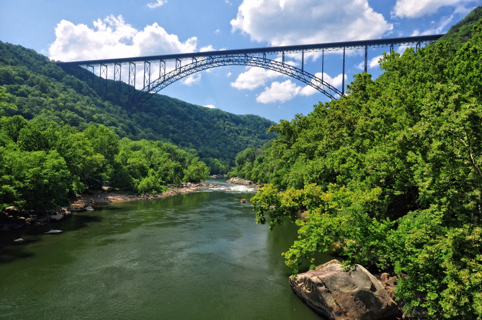
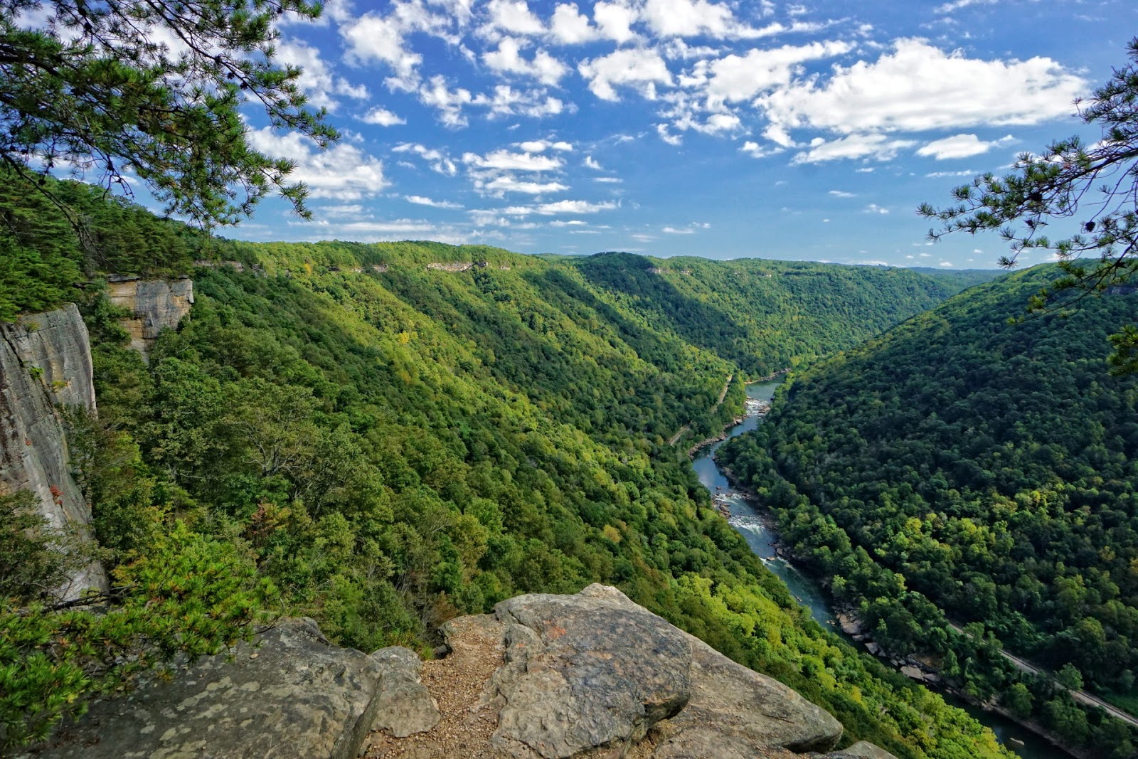
“More than 100 waterfalls grace the cliffs and canyons of the New River Gorge and its tributaries. This book invites you the savor this untapped wealth of beauty in two enjoyable ways—by viewing photographs of these waterfalls and by experiencing them for yourself. 
Laurel Creek Falls
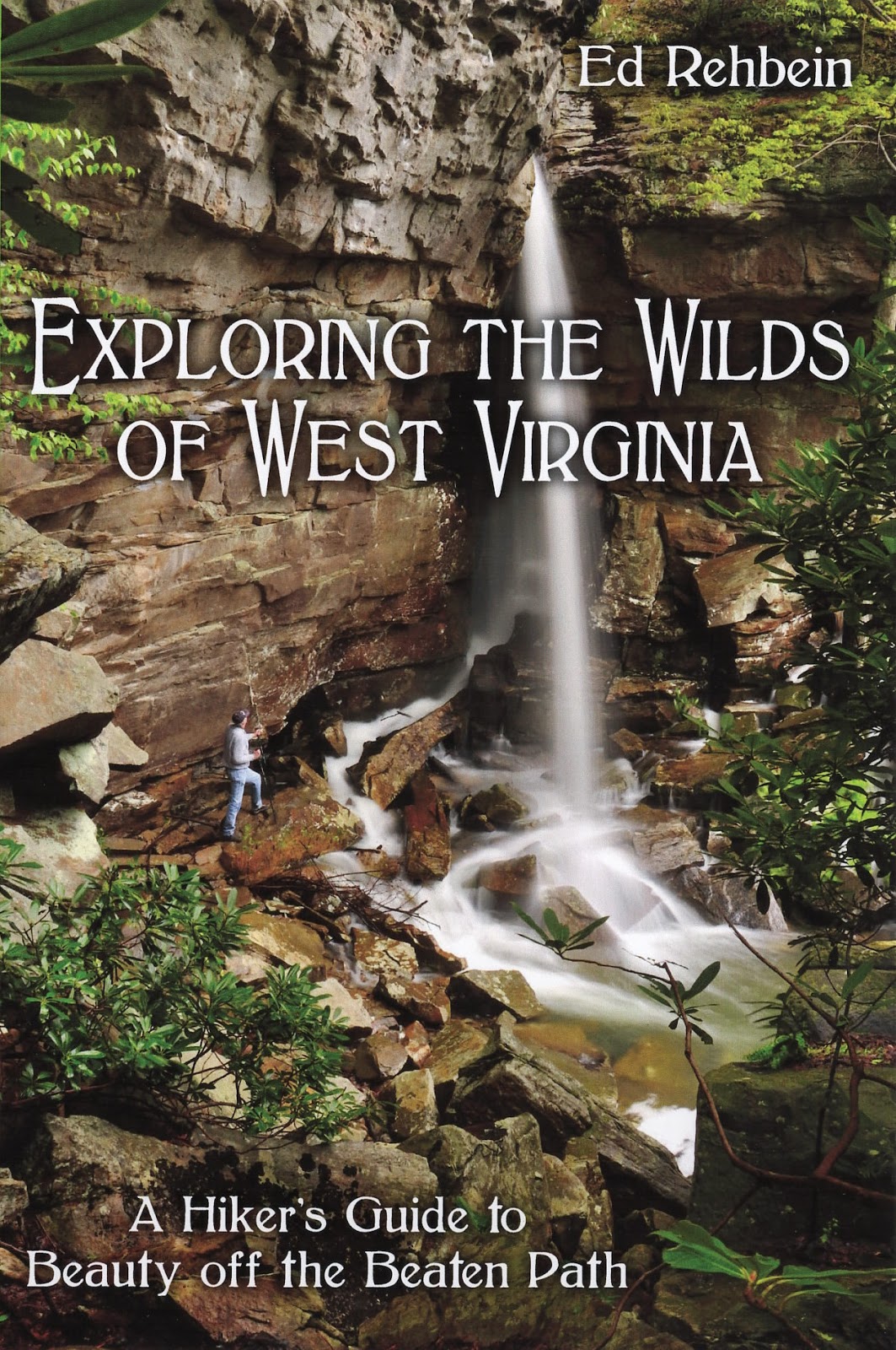
“Photographers, hikers, and nature lovers Ed Rehbein and Randall Sanger have photographed some of the most beautiful places in the New River Gorge, plus—provided maps and information on how to visit each waterfall yourself. The pull-out hiking guide will keep you on the path to your own Appalachian Adventures.” Book Cover
Pirate's Cove
“The New River Gorge is such a beautiful place that it is often said photos don't do it justice. This photography certainly does. Ed Rehbein and Randy Sanger have successfully captured not only the beauty of these waterfalls, but the emotion and the majesty they impart. These two avid hikers have also provided all the information necessary should one want to experience any of these locations firsthand. Their book is a combination of breathtaking photography and informative yet succinct details. It belongs on the coffee tables of outdoor enthusiasts and fine art lovers everywhere.” Audrey Stanton-Smith, Former Editor, West Virginia South Magazine 
Turkey Creek Falls
“Every one of all ages can appreciate the sheer beauty of one of nature’s most delicate and breath-taking works of art, the waterfall. It wasn’t until I experienced these glorious masterpieces through the pages of “West Virginia Waterfalls: The New River Gorge” that I could truly appreciate the natural beauty of the Mountain State. The captions bring a vivid experience through the personal thoughts of the photographers as they make their way through the wilderness to the falls.  I could feel their heart-pounding anticipation as they began shooting the photographs. This book captures the whole experience of visiting these falls without leaving home!  I, for one, must dust off my hiking boots and get going!”  Karen G. Lilly  
Ramsey Branch Falls
 “Readers of Wonderful West Virginia magazine know the hallmarks of an Ed Rehbein outdoor adventure story: writing that conveys a deep reverence for nature and stunning photography. In this beautiful book, Ed and fellow photographer and nature lover Randall Sanger give readers not only breathtaking images of waterfalls but engaging and lyrical anecdotes about how they discovered and captured the views. Their stories of slippery slopes and treacherous descents are nearly as breathtaking as the falls! This rare volume, truly a labor of love, will soon have you packing a lunch and heading off to the New River Gorge.”  Sheila McEntee, former Editor of Wonderful West Virginia.
Turkey Creek


Wednesday, November 2, 2016

The Seven Wonders of West Virginia

The world has its seven wonders. So why not West Virginia? After all the State is called “Wild, Wonderful West Virginia,” and rightly so. West Virginia, The Mountain State, abounds in scenic wonders. Nestled among more urban and populated eastern states, West Virginia is an island of mountains, forests, rivers, and plateaus. Indeed, choosing just seven natural wonders to highlight proved daunting. But subjective as it is, from north to south here is my list: 

1. Dolly Sods
2. Canaan Valley
3. Seneca Rocks
4. The Cranberry Glades 
5. The Falls of Hills Creek
6. The New River Gorge 
7. Sandstone Falls
Dolly Sods

Credentials of the Seven

To make the list, the seven wonders had to fit certain criteria. For instance, they all had to be well-known landmarks, if not nationally, certainly state-wide. They had to be “on the map,” that is, located and identified on a West Virginia State Highway Map. Furthermore, I felt the north, central and southern regions of West Virginia all had to be represented. And the seven wonders had to be on public lands either Federal or State allowing all visitors free access. Being locations of special importance, all seven have received some measure of National or State recognition, management, and protection.

Dolly Sods

Dolly Sods 

Dolly Sods is nestled in the highlands of Tucker, Grant, and Randolph Counties about 35 miles east of Elkins, WV. It’s a high elevation, upland plateau covering about 32,000 acres and is famous for its rocky plains, bogs, and sweeping vistas.  Due to elevations ranging from 2,600 to 4,000 feet, the climate and vegetation resemble those of northern Canada. In 1975 Congress set aside more than 10,000 acres of Dolly Sods to be managed by the U.S. Forest Service as a Wilderness Area. The U.S. Forest Service calls Dolly Sods, “a unique ‘island’ of wild country.” In 2009, Congress expanded the Dolly Sods Wilderness to more than 17,000 acres by adding 7,156 acres from an area previously known as Dolly Sods North.
Canaan Valley

Canaan Valley

Immediately west of Dolly Sods lies Canaan Valley. Sitting about 3,200 feet above sea level and covering 32,000 acres in Tucker County, Canaan Valley is the largest high elevation valley east of the Rockies. Nestled in the valley floor is one of the largest shrub swamp environments in the East. Canaan Valley also holds the largest wetland complex in West Virginia, containing about 9,500 acres of bogs, shrub swamps, and wet meadows. Besides a haven for wildlife, Canaan Valley is one of the most pristine and picturesque spots in all of West Virginia. Everywhere beauty abounds, and so much of it is accessible to the public. Between Canaan Valley Resort State Park and Canaan Valley National Wildlife Refuge more than half of the valley is public land (22,500 acres). 
Seneca Rocks

Seneca Rocks

Located in Pendleton County in northeastern West Virginia, Seneca Rocks, an imposing nine hundred foot high wall of quartzite, is considered the top climbing spot on the East Coast. During World War II members of the Tenth Mountain Division trained at Seneca Rocks so they could scale Mediterranean cliffs. In 1965, Congress established the 100,000-acre Spruce Knob Seneca Rocks National Recreation Area.
Cranberry Glades

Cranberry Glades

At 750 acres, the Cranberry Glades Botanical Area of Pocahontas County in central West Virginia protects the largest area of bogs in West Virginia. In 1974, the Cranberry Glades Botanical Area was named a National Natural Landmark. The Cranberry Glades is managed and protected by the U.S. Forest Service, which maintains a ½ mile boardwalk for visitors to access the glades without harming the delicate environment.
Falls of Hills Creek

Falls of Hills Creek

Tucked in a narrow gorge in Pocahontas County just eight miles from the Cranberry Glades are the Falls of Hills Creek. Managed by the U.S. Forest Service as the Falls of Hills Creek Scenic Area, this 114-acre tract sports three waterfalls in a row of 25, 45, and 65 feet in height. The last waterfall is considered the second tallest in West Virginia. A 1700-foot long handicap accessible boardwalk allows everyone to see the first waterfall.
New River Gorge

New River Gorge

In November 1978, parts of the New River Gorge located in Fayette, Raleigh, and Summers Counties in southern West Virginia became the New River Gorge National River managed by the National Park Service. The New River was also designated an American Heritage River on July 30, 1998, one of fourteen such rivers in the country. The New River is reputed to be the second oldest river in the world. In 2015, USA Today readers voted the Endless Wall Trail of the New River Gorge National River as the #1 National Park day hike.
Sandstone Falls

Sandstone Falls

Located on the New River about 8 miles north of Hinton in Summers County, Sandstone Falls is one of the most visited landmarks within the New River Gorge National River. A 1/4 mile boardwalk provides fully accessible views of the falls. Not just a Wonder of West Virginia, Sandstone Falls is globally recognized. On a worldwide database of waterfalls, Sandstone Falls was ranked 30th by volume of water and 17th by width.

There you have it--a bucket list of places to visit in West Virginia. I know there are many other places worthy of the list such as Blackwater Falls, but I limited myself to seven wonders. But don’t limit yourself to these seven, for West Virginia is loaded with scenic wonders. 

Monday, October 10, 2016

Ramsey Branch Falls: a Hidden Gem

Ramsey Branch Road is rough and rocky, but worth the ride. It drops you off at a secluded and lovely place--Ramsey Branch Falls. Nestled in a canyon just off the Gauley River, the falls are truly a gem hidden in the hills of the New River Region.
 
Ramsey Branch Falls

To get to Ramsey Branch Falls take U.S. 60 five miles west of its intersection with U.S. 19 to Saturday Road (GPS: Lat. 38.128491, Long. -81.074095). Turn right (north) on Saturday Road and wind through the countryside of pastures and woods. After 6.9 miles turn left at the junction with Ramsey Branch Road and continue 1.6 miles to the Gauley River. The last half a mile is steep, rough, rocky, and requires a truck for 4WD vehicle with a high center. 
Ramsey Branch Falls
Turn right at the river and after a very short distance look for a road to the right which drops down to the streambed of Ramsey Branch. Take this road for just a few yards and stop at a hairpin turn at creek level. A short, bushwhacked trail leads upstream to the falls (GPS: Lat. 38.2010, Long. -81.0126). At the falls, Ramsey Branch rolls over a sandstone ledge forming a broad veil of white water. Having photographed more than 70 waterfalls in the New River Gorge region, I believe that the falls at Ramsey Branch are one of the most picturesque. They are a “must see” for adventure seekers along the Gauley River. 
Ramsey Branch Falls
While on the Gauley, you might as well explore the banks of the river, too. There’s an easy way to the riverside through the tunnel under the road that runs along the Gauley River. At Ramsey Branch the Gauley widens and forms at calm reflecting pool. It’s a great place to sit and soak in some scenery before you turn around and head home.
Gauley River


Tuesday, September 13, 2016

Exploring the Endless Wall Trail to Diamond Point and Beyond

The Endless Wall Trail was voted the #1 National Park Trail by readers of USA Today (Endless Wall Trail). And for good reasons. Many stunning vistas of the New River Gorge line the trail. In this post I will highlight the best overlooks and other points of interest in a 2.6 mile loop trail of the Endless Wall.
Endless Wall from Diamond Point
Start at the Fern Creek Parking Area (GPS: Lat. 38.06298, Long. -81.05682) on the Lansing-Edmond Road (County Road 82) just 1.3 miles from its intersection with U.S. 19. The Endless Wall Trail begins by meandering on a flat, well graveled path through a lovely hemlock forest. After a half-mile, it crosses Fern Creek and begins a gradual ascent through a rhododendron thicket. As the trail tops the hill, the Fern Buttress Overlook takes off to the right at the 2/3 mile mark. The vistas are somewhat obscured by trees, but the viewpoint still gives you a sense of the depth of the gorge. On the right (north) side of Fern Buttress, paths zigzag to the top of a steel ladder bolted to a rock, which climbers use to reach the bottom of the Endless Wall cliff.
 
Fern Buttress Climbing Ladder

From the Fern Buttress continue hiking the cliff top trail and look for various paths to the right leading to the cliff edge. These paths lead to small bare rock outcrops with a view to the gorge. My favorite spot on this section of the trail is a spot I call the Idol Point Overlook (GPS: Lat. 38.05408, Long. -81.06075), which sits about 1000 feet east of Fern Buttress. Named by rock climbers, Idol Point is a stunning overhanging rock point at the top of the cliff. It sits mid-way between the Fern Buttress and Diamond Point. 
Idol Point: Endless Wall
Probably the best viewpoints on the Endless Wall trail are at Diamond Point, which is about 0.9 miles from the trailhead. Diamond Point juts out into the gorge and offers sweeping vistas upstream and downstream. It’s a “must-see” view of the New River Gorge. If you’ve packed a sandwich, it’s a great lunch stop, too. 
Diamond Point Overlook
Upon leaving Diamond Point, the trail gradually slopes downhill for about 30 yards. At the base of the downhill stretch look for a sign indicating climbers’ access. This side path leads to another steel ladder that descends into a narrow cleft in the rock. Called the “Honeymooner’s Ladder,” it’s another point at which climbers can access the bottom of the cliffs. If it looks scary, it is! Phyllis and I climbed this ladder once, and once was enough for us! Even if you’re not a climber, though, these Endless Wall ladders are worth a look. 
Honeymooner's Ladder
After the Honeymooner’s Ladder, the trail continues on the cliff top and rises gradually. There are still side trails to the edge of the gorge, but they are not as numerous as prior to Diamond Point. There is, however, one roomy outcrop at the 1.4 mile mark, which was called Falcon Point (GPS: Lat. 38.05634, Long, -81.05242). The Falcon Point trail is no longer marked by a sign, but it’s easily identified by two small pine trees growing together in the middle of the trail. It’s worth a short side trip and has great views upstream and downstream. 
View from Falcon Point
The cliff-side portion of the Endless Wall Trail ends at the 1.75 mile mark at the Miner’s Ladder. Before turning left to follow the trail over a ridge, continue straight ahead for a short stretch to a viewpoint overlooking the gorge. The view downstream is obscured by a rock outcrop with a small pine tree growing on top of it, but the view upstream is grand. While here, check out the climbers’ access ladder in the middle of a rock cleft. 
View from Miner's Ladder
The easiest way back to the starting point is to finish the remainder of the Endless Wall Trail, which wanders downhill through trees and rhododendron for a third of a mile to trailhead parking for the east end of the Endless Wall Trail. From the parking area turn left onto the Lansing Edmond Road; walk a half mile back to the Fern Creek Parking Area, and you’ll be back at the start. You’ll have hiked a loop of 2.6 miles and enjoyed some of the best scenery the New River Gorge has to offer.
Miner's Ladder


Thursday, September 8, 2016

Brush Creek Falls Trail: Short Hike to a Tall Waterfall

My jaw dropped the first time I saw Brush Creek Falls. I couldn’t believe such a lovely, large, and accessible waterfall had escaped my attention for so long. The falls span the width of Brush Creek and are about 33 feet high. A few smaller drops precede the main fall. The Brush Creek watershed is substantial and supports good flow in summer. While it begins as a shallow, meandering stream, Brush Creek swells to river size and cuts a 400-foot deep canyon by the time it reaches the falls. 
Brush Creek Falls
Twenty-four acres surrounding Brush Creek Falls are now managed by the State of West Virginia as part of Pipestem Resort State Park. To get to Brush Creek Falls from the Pipestem State Park entrance, take state Route 20 south 4.5 miles to the town of Speedway and turn right onto county Route 3 (Brush Creek Falls Road, GPS: Lat. 37.45632, Long. -81.01005). After 2.7 miles bear left on county Route 3 and descend 0.6 miles into the Brush Creek Gorge. Park at the picnic shelter just before the bridge crossing Brush Creek (GPS: Lat. 37.46478, Long. -81.06404).
 
Upper Brush Creek Falls

It’s an easy, though rocky, ¼ mile hike from the picnic shelter to the falls. The trail at this point may have been a wagon road serving grist and woolen mills operating at the site from 1851 to 1909. From relatively flat sandstone ledges, you can explore the top of the upper falls that hosts numerous small drops. 
 
Brush Creek Falls

And there’s a well-graded trail leading to the creek below the main falls. This trail is not the first one that you’ll come upon. Look for a second trail, which switches back at an abrupt angle to the left. It’s the easiest way down to creek level where you can explore the base of the falls. 
Brush Creek Falls